


Lumbini Master Plan
Posted by Ram Kumar Shrestha on December 10, 2011
The United Nations Development Programme contributed nearly one million dollars for preparation of a Master Plan for the development of Lumbini, including numerous engeering and archaeological studies. The plan, which was completed in 1978, has as its objecive to restore an area of about 7.7 kM2, to be known as the Lumbini Garden, centering on the garden and the Ashoka Pillar, with an additional area of 64.5 km2 to be developed in its support.


UN Secretary General Prof Kenzo Tange
Late U Thant
According to architect Kenzo Tange, “the overall intent is to reinforce the symbolic entity of the Lumbini Garden in its simplicity and clarity’.. Development will provide for visitors to Lumbini – pilgrims and tourists – and will also support such complementary activities as residence of monks, research, international meetings and teachings.
Masterplan Map

Within the plan for the development of Lumbini Garden, there are three main components:
1. New Lumbini Village
2. The Cultural Centre/Monastic Zone
3. The Sacred Garden
The design is oriented north-south,with Lumbini Village and Cultural Centre north, and the focus of the design – the Sacred Garden – to the. south. On either side of the axis towards its southern end are the monastic enclaves. The entire development is tied together by a central link comprised of a walkway and a canal.
The design is oriented north-south,with Lumbini Village and Cultural Centre north, and the focus of the design – the Sacred Garden – to the. south. On either side of the axis towards its southern end are the monastic enclaves. The entire development is tied together by a central link comprised of a walkway and a canal.
This central link establishes the solitude and sanctity of the Sacred Garden,with its pillar and spectacular panorama of the Himalaya, and offers pilgrims time and space to prepare themselves as they approach the Sacred Garden.
The Monastic zone is situated in the forest area north of the Sacred garden, divided by a canal, there are East and West Monastic Enclaves having 42 plots each allotted for new monasteries of Theravada and Mahayana sects of Buddhism. Nearby, across the central link bridge, a research center, a library, an auditorium, and a museum provide facilities for research and study on Buddhism.
The Northern part of the site is being developed as the New Lumbini Village which is also a gateway to the outer world where the visitors can find comfortable lodges and restaurants offering high standard facilities.
Concerning the birth of the Lord Buddha here, the Chinese account articulates a very interesting incident saying that Queen Mayadevi, mother of the lord had a bath at the pool here and then grasped the branch of a tree facing the east, she brought forth the Lord on the ground thus, making Lumbini a sacred place. It is also said that Lord Buddha walked seven steps as soon as he stepped on the mother earth.
The central feature of Lumbini is the sacred garden that is spread over 1 sq. mile. Historically, the region is an exquisite treasure-trove of ancient ruins and antiquities. The site, described as a beautiful garden in the Buddha’s time retains its legendary charm and beauty embracing the Mayadevi temple inside it.
The Maya Devi temple is a distinctive shrine of importance and has the bas-relief image of Maya Devi, enshrined in a small pagoda-like structure. The image shows Maya Devi , mother of the Lord Buddha, supporting herself by holding on with her right hand to a branch of Sal tree, with newly born infant Buddha standing upright on a lotus pedestal. Two other celestial figures are depicted in an act of showering water and lotuses bestowed from heaven. The famous Maya Devi stone sculpture, also known as the Nativity Sculpture was installed here in 4th century AD.
The single most important place of the Lumbini and to the entire Buddhist world for that matter is the stone slab located deep in the Sanctum Sanctorum. Revealed after hard and meticulous excavations under the three layers of ruins over the site of the famous Maya Devi temple, the stone slab foundation pinpoints the location of the original place marking the exact spot of the birthplace of Lord Buddha. This spot being the most sensitive requires proper conservation and exposition to allow pilgrims and visitors to observe in slut the Marker Stones here.
Nearby, and just to the west of the Mayadevi temple, stands the Ashoka pillar- the oldest monument so far found in Nepal erected by Emperor Ashoka in 249 BC. The pillar is the first epigraphic evidence relating to the life history of Lord Buddha and is also the most visible landmark of the garden. The historic importance of the pillar is evidenced by the inscription engraved in the pillar in Brahmi script. It is said that the great Emperor Ashoka visited the site in the twentieth year of his ascendancy to the throne and as homage to the holy place of Lord Buddha.
To the south of the pillar, we find a sacred pond- Puskarani- believed to be the same sacred pool in which Maya Devi took a holy dip just before giving birth to the Lord and also where infant Buddha was given his first purification bath. Architecturally, the pool has projecting terraces in descending order and is reverted with fine brick masonry. The holy site is surrounded by a row of stupas. These stupas are also believed to be built as early as 3rd century B.C while some stupas with square, rectangular and circular bases are said to be added in the medieval period.
A host of shrines, stupas, monasteries, meditation centers and courtyards built or being built in the International Monastic Zone here by various countries such as Japan, Korea, China, India, Thailand, Myanmar, Vietnam, Sri Lanka, France, and Germany embodies the country’s respective architecture and gives Lumbini, an international feel with a message of universal friendship and brotherhood. Out of these symbols of universal peace and brotherhood, the World Peace Stupa built by Japan can be taken as one of the most attractive stupas there. It is said that one can really feel the peace and calmness of Lord Buddha’s warmth when he sets his foot there.
Lumbini rests on the foothills of Churia range and can be accessed by both Air and Land route.
| New Face Of Lumbini |
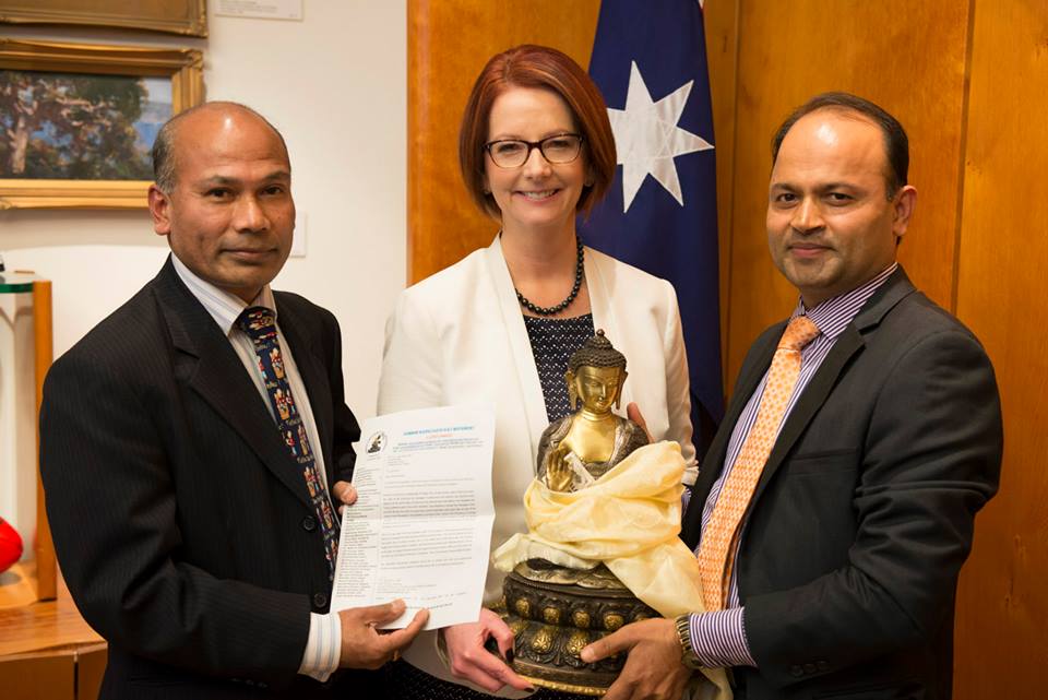
The then United Nations Secretary General, U. Thant’s pilgrimage of Lumbini in 1967 became a milestone in the recent history of the development of Lumbini. Deeply influenced by the sanctity of Lumbini, U. Thant discussed the matter with the then king Mahendra and suggested Nepal Government to develop Lumbini as an international pilgrimage and a tourist center. In 1970, he also helped formation of an International Committee for the Development of Lumbini consisting of 15 member nations to support Lumbini through the United Nation’s involvement. The world renowned architect Prof. Kenzo Tange of Japan was assigned the task of designing a master plan for the systematic development of Lumbini.
| Master Plan Of Lumbini |
In 1978, the Master Plan designed by Prof. Tange was finalized and approved by the Government of Nepal and United Nations. In the meantime, Government of Nepal was directly involved in the planning and development of Lumbini through formation of Lumbini Development Committee. The committee acquired necessary land, relocated the villages and commenced the development of basic infrastructures including forestation program in the planned area. The master plan thus changed the face of Lumbini. In 1985, the Lumbini Development Trust Act came into existence and Lumbini Development Trust (LDT) was formed accordingly. Now the Trust is responsible for the implementation of the master plan and for the overall development of Lumbini, and other Buddhist sites of Kapilavastu, Devadaha and Ramagrama.
| Concept Of Master Plan |
The master plan covers an area of 1*3 sq. miles, comprising three zones of a square mile each. The three zones are linked with walkways and a canal, these are:
- Sacred Garden
- Monastic zone
- New Lumbini village
The focus of Tange’s design is the sacred Garden located in the southern part. The ultimate objective of the design here is to create an atmosphere of spirituality, peace, universal brotherhood and nonviolence consistent with the time and Buddha’s message to the world. The Sacred Garden shelters the ancient monuments at the center in a freshly restored atmosphere of serene and lush forest and water body surrounding the complex.
The Monastic Zone is situated in the middle with a forest area between the Sacred Garden and the New Lumbini Village . The zone is divided into two Monastic enclaves by a Centre Canal . There are 13 plots of land in the East Monastic Zone and 29 in the West Monastic Enclave, having 42 plots in total each allotted for the construction of new monasteries of Theravada and Mahayana schools of Buddhism.
The cultural center lies between the Monastic Zone and the New Lumbini Village . A research centre, a library, an auditorium and a museum provide information to the visitors and research and study facilities to the students and researchers.
The northern part of the master plan area is being developed as the New Lumbini Village. It is also a gateway to the outer world, where the visitors can find comfortable hotels and restaurants offering necessary facilities. The World Peace Pagoda of Japan and the Crane Sanctuary are located here.
Master Plan of Lumbini
In 1978 the master plan designed by Prof. Tange was finalized and approved by HMG/Nepal and the U.N. In the meantime, HMG/N was directly involved in the planning and development of Lumbini through the formation of the Lumbini development committee. The committee acquired the necessary amount of land, relocated the villages and commenced the task of creating basic infrastructure including the afore station program in the planned area, the master plan thus changed the face of Lumbini.
In 1985, the Lumbini Development Trust Act came into existence and Lumbini Development Trust (LDT) was formed accordingly. Now, the Trust in responsible for the implementation of the Master Plan and for the overall development of Lumbini.
Concept of Master Plan
The Master Plan covers an area of 1×3 sq. miles, comprising three zones of a square mile each. The three zones are linked with walkways and canal. These are: (a) Sacred Garden Zone
The main focus of Prof. Tange’s designed is the Sacred Garden located in the southern part. The ultimate objective of the design here is to create an atmosphere of spirituality, peace, universal brotherhood and non-violence consistent with the time and Buddha’s message to the world. The Sacred Garden Zone shelters the ancient monuments at the center in a freshly restored atmosphere of serene and lush forest and water body surrounding the complex.
(b) Monastic Zone
The Monastic zone is situated in the center with the forest area, north of the Sacred Garden complex, divided by a canal. There are 13 monasteries in east and 29 in west Monastic Enclaves, having 42 plots each allotted for new monasteries of Theravada and Mahayana sects of Buddhism respectively. A research center, a library, an auditorium and a museum that provide facilities for research and study of Buddhism are located at the cultural center.
(c) New Lumbini Village
This complex is located at the intersection of the Siddarthanagar – Taulihawa Road, which is expected to be the principal approach route to Lumbini. As such, the village will serve as the initial reception point for visitors to Lumbini and will include information and orientation facilities, as well as restaurants, telephone office, bank, police and fire stations and restrooms. The Village will also be the location of the administrative offices of the Lumbini complex. Architecturally, the Village is made up in to eight blocks aligned with two parallel arcades. The buildings north of the road will be utilized as the administrative centre, while those south of the road will be occupied by the tourist centre.
Sources:
Lumbini Trust
niem.com.np

Leave a comment